
Maryville Neighbor Source Layers
Public records around a Maryville address use different keys. Blount GIS maps parcels and streets. TPAD displays selected parcel and assessment fields. GoVote can return a matched voter or address with polling context. Maryville Codes and Engineering keep address-specific government records that may be requested by address and date. Community groups can offer a local contact lead, but the research did not locate a citywide member directory or a government map of every neighborhood.
| Block source | What it can show | Maryville access |
|---|---|---|
| Blount GIS | Parcel outlines, adjoining parcel IDs, and mapped street context if the viewer loads | County GIS viewer; exact controls were not verified |
| TPAD | Owner display, situs, mailing address, class, sale data, and parcel fields | Property Assessment Data; query one parcel at a time |
| GoVote | A known voter or address match, precinct, polling place, and ballot context | Public lookup, not a block roster |
| Codes and Engineering | Existing permits, inspections, code, right-of-way, or site-plan records | Targeted request by address, record type, and date |
| Community organizations | Association or civic contact information, when published | College Hill, Council of Neighbors, and Chilhowee Club leads |
Start with the parcel relationship, then name the result accurately. “Adjoining parcel,” “across street,” “same mapped block,” “same precinct,” and “association lead” are all different findings. None establishes that people know each other or share a household.
Maryville Neighbor Parcel Checks
The Blount GIS viewer is the county mapping source named by the Property Assessor, and TPAD results can include a GIS Map link. During research, the live GIS viewer timed out. That means its exact search field names, layers, identify controls, adjacent-parcel tools, print options, and export options were not verified. A public map is still useful when it loads, but only within the functions confirmed by the result in front of you.
Use the documented route: search a precise address in TPAD, keep the control map, group, and parcel, open the available GIS map link, compare the subject outline with shared-boundary outlines, then return to TPAD for each parcel ID. Verify recorded ownership through the Assessor or Register of Deeds. Do not promise a radius, a whole-block selector, a household feature, or a button labeled neighbors when those controls were not available for inspection.
- Parcel
- A defined piece of land in an assessment or map system. It is an identifier for land, not a roster of people.
- Situs address
- The physical property address. It may differ from the mailing address used for tax correspondence.
- Adjoining parcel
- Land that shares a boundary or sits next to the subject parcel on a map. It does not show a personal connection.
Note: If the GIS viewer is unavailable, use TPAD address searches and a narrow public-record request as the documented fallback.
Mapping Maryville Neighbor Parcels
Map a Maryville block outward from one verified address. This workflow keeps the parcel trail separate from assumptions about who may be present. It also creates a usable record of which source supplied each field. For a full named-street chain, the Maryville by-street directory follows a broader address process.
- Enter the subject address in TPAD and save the property address, control map, group, parcel, subdivision, class, sale date, and GIS link if shown.
- Open the linked GIS view when it works, identify the subject parcel, and write down the parcel IDs or addresses that share a boundary, face it across the street, or sit on the same mapped block.
- Return to TPAD for each individual parcel. Preserve owner display, situs, mailing address, class, and the date of the portal check.
- For a legal ownership question, take the parcel and address to the Register of Deeds and preserve the book/page, instrument type, legal description, grantor, grantee, and document date.
- Use Codes, Engineering, or Historic Zoning only for the particular property record requested. Label every conclusion by its record layer.
A map adjacency is geographic evidence. A taxpayer’s mailing address can be elsewhere, a business, a trust, or an estate can appear as owner, and a deed records an interest rather than proof of current presence. These limits are part of a sound neighbor search.
Maryville Neighbor Address Context
City records can add context to a block without becoming a people directory. Maryville Codes and Development Services, at 416 W Broadway Avenue, handles permits, plan review, inspections, and code enforcement. No public online address index was located. Ask for existing records by exact address, permit type, and date. Most construction needs a permit and inspections are usually within 24 working hours, though some minor repairs may be exempt.
Engineering and Public Works handles right-of-way excavation and site-plan material. It is reached through the Municipal Building lower level at 865-273-3500, and requests should use address and date. The Historic Zoning Commission separately reviews construction, alteration, repair, rehabilitation, relocation, and demolition in historic zones. It meets on the second Monday at 6 p.m.; Valentina Amon is listed at 865-273-3509. Historic-zone status is a property-area record, not a neighborhood membership list.
The city adopted updated building-code editions effective January 1, 2026. When a permit or inspection question involves a Maryville property, give the work date and ask which code edition and record series apply. A targeted request asks for an existing file. The Tennessee Public Records Act does not require an office to create a new street spreadsheet.
Maryville Neighbor Association Leads
Maryville has useful organization leads, but no verified public directory for every neighborhood. The Historic College Hill Neighborhood Association is a lead for its historic area, while the Council of Neighbors publishes an umbrella association listing. The Chilhowee Club is a civic organization with a member directory limited to current members. Each contact belongs to its own organization and does not define an official boundary.
Historic College Hill
Historic College Hill Neighborhood Association is a Maryville historic-neighborhood lead. A current public membership directory was not located.
Council of Neighbors
Council of Neighbors lists local associations. It is not a government boundary authority.
Chilhowee Club
Chilhowee Club is a Maryville civic organization founded in 1891. Its member directory is for current members.
Visit the Historic College Hill association for the organization’s own public information.
College Hill is a community lead, not evidence that every person associated with a nearby parcel belongs to the association.
Consult the Council of Neighbors association listing to locate the public organization directory.
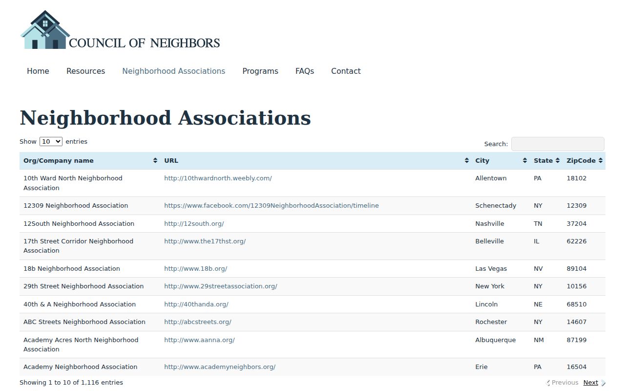
The Council listing can point to organizations, but it is not a city-maintained list of every Maryville neighborhood.
Review the Chilhowee Club public organization information for its contact route and civic context.
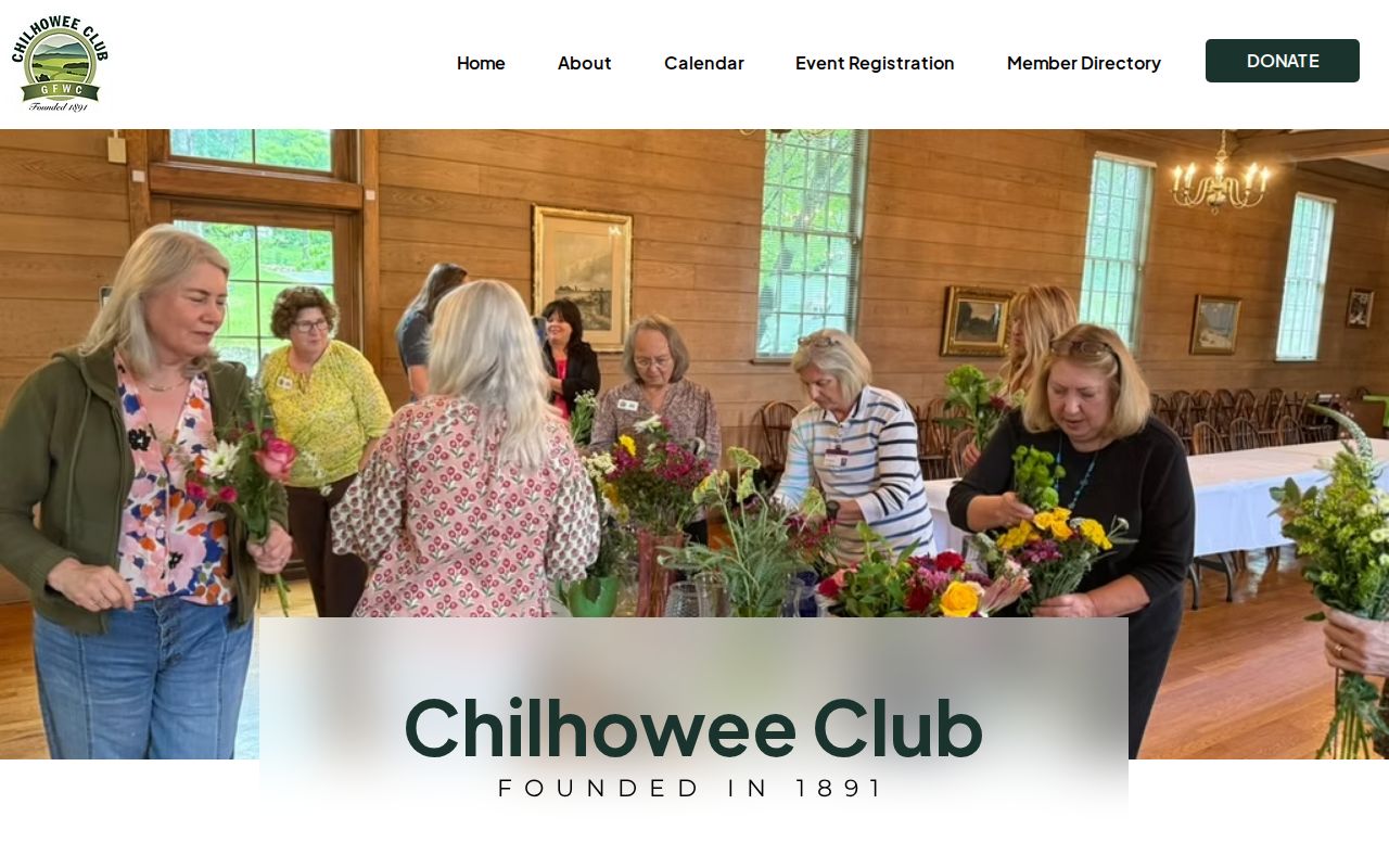
The club’s public presence is a civic contact lead; its member directory is not open to a general Maryville neighbor search.
Maryville Neighbor Voter Boundaries
Tennessee GoVote is appropriate for a known name or address and may return a polling place, sample ballot, elected officials, and other voter information. It does not provide a public household list. A same-precinct result is election geography, not proof that people share a block, a residence, or a relationship.
| Official layer | Best use | Commercial neighbor tools |
|---|---|---|
| TPAD and GIS | Check one parcel, its mapped setting, and owner or assessment fields | May combine public and marketing data; freshness and opt-out results vary |
| GoVote | Check one known voter or address for election context | Cannot replace the state’s voter-use rules or a direct official match |
| City requests | Seek an existing address-specific permit, inspection, or public-work record | Cannot create an authoritative block file from compiled fragments |
The Blount Election Commission is at 383 Court Street, Maryville, TN 37804, 865-273-5920. Its voter-data order form includes address, city, precinct, district, registration-date, and selected election-history filters, but it requires political-purpose certification under T.C.A. §2-2-138. False certification is a Class B misdemeanor with a $500 penalty. The form does not reveal ballot choices or establish a permanent party label.
Maryville Neighbor Record Requests
When a block question concerns a city record that has no online index, make the request narrow. The city’s public-record request entry point asks for first and last name, address details, and the request. It identifies Jane Groff, Administrative Services Director and PRRC, at 404 W Broadway Avenue, Maryville, TN 37801, 865-273-3406. Police records use a separate process.
Under the Tennessee Public Records Act, T.C.A. §10-7-503 et seq., agencies provide existing open records and do not have to create or compile a new resident directory. Use the street number, street name, date range, record type, and, when available, the parcel or permit number. If a request cannot be completed promptly, the custodian must produce, deny with an explanation, or provide status and an estimate within seven business days.
Note: An address and date range help the custodian locate an existing city record without asking the city to build a new list.
Maryville Neighbor Lookup Boundaries
A Maryville neighbor lookup cannot show every person at an address. Public property systems are keyed to parcels or accounts, deeds to recorded instruments, GoVote to a voter record, and Codes to an application, inspection, or address file. Mailing addresses can belong to an owner elsewhere, a business, trustee, or estate. Utility customers and protected voter records are not a public block index.
Tennessee Safe at Home, under T.C.A. Title 40, Chapter 38, Part 6, gives qualifying victims a substitute address in specific state and local interactions. It does not erase existing records or remove real-property assessment records. Do not use a parcel, court, or voter search to try to expose a protected address. The DPPA restricts motor-vehicle personal information, and court confidentiality rules protect other records.
Lawful use. Use Maryville neighbor records only for a specific, lawful purpose. Tennessee law prohibits using records to monitor, threaten, follow, repeatedly contact, or expose another person.
For an official error, contact the record custodian with the source identifier and supporting documents. A parcel map, voter match, or association reference should be described only for what it actually shows.