
Search a Maryville Street by Address
A useful Maryville street directory search begins with the property rather than a broad name list. Tennessee Property Assessment Data, or TPAD, lets a researcher select Blount County and enter a property address. Its advanced address example permits a street name without a number, which can be useful for a first pass. Treat that result as a parcel lead. It identifies assessment information, not a complete list of people at the location. Save the situs address, control map, group, parcel, and sale details before moving to the next office.
- Enter the precise Maryville address in TPAD and retain the owner display, situs address, parcel components, subdivision, and sale date that appear.
- Use TPAD's GIS Map link or Blount GIS to compare the subject parcel with mapped roads and adjoining parcel outlines. The live viewer controls were not verified, so use only the documented map-to-parcel workflow.
- Take the parcel and legal-description clues to the Blount County Register of Deeds for the recorded book/page trail and instrument context.
- For a known person or address, use Tennessee GoVote only for its matched voter and polling information. It is not a public roster for a whole street.
- For an older address, request the exact year and title from the library, Archives, or historical collections, then compare an address listing with the deed and parcel trail.
Each stage answers a narrower question. The parcel establishes an identifier, the map supplies geography, the Register supplies a recorded instrument, and a dated directory can supply a historical listing. That sequence produces a clearer address-record result than treating a single screen as proof of residence.
Maryville TPAD Street Searches
TPAD is the strongest verified online starting point for a Maryville address. The Blount County Assessor reports approximately 70,000 parcels, and TPAD provides both a simple search and an advanced form. Start with the address field, then use parcel components to distinguish similar street results. The official form did not document every accepted alias or all classification choices, so enter the displayed formats instead of assuming a hidden search option.
| TPAD field | Input | How it helps a street search |
|---|---|---|
| County | Required dropdown | Select Blount County before a basic search. |
| Property Address | Optional advanced text | The example is Main St; a street number is optional. |
| Owner Name | Optional advanced text | Use only after an address result supplies a name lead. |
| Subdivision Name | Optional advanced text | Narrows a search when the subdivision is known. |
| Classification | Optional dropdown | The capture showed options but not the full list. |
| Sale Date Start and End | Optional date pair | Narrows a search by recorded sale period. |
| Control Map | Optional text | Three numbers, with up to two letters, such as 012 or 100A. |
| Group | Optional text | Up to two letters, such as B or AA. |
| Parcel | Optional text | Five digits, with an optional decimal after the third digit, such as 025.00. |
| Sort By | Owner, address, parcel, subdivision, classification, or sale date | Choose the result order that makes a street sweep easier to review. |
| Actions | Search, Advanced Search, Reset | Use Advanced Search to expose the additional fields. |
The official help material says results can include View, Owner, Property Address, Control Map, Group, Parcel, Special Interest, Parcel ID, Subdivision, Lot, Class, Sale Date, and a GIS Map link. A result may not expose every possible parcel-card field. Preserve what is displayed and note the access date rather than filling gaps from an assumption.
Note: TPAD's owner and property fields are assessment evidence, so they should be labeled by field rather than converted into an occupancy claim.
Maryville Parcel Terms Before Names
Parcel language keeps an address-record search tied to the right land record. A postal address can change in format or share a name with another road, while the parcel components create a more stable connection across the assessor, map, and deed records. The Register also requires deeds to identify district, map, parcel, responsible taxpayer, and owner information. Copy those identifiers exactly when moving from an assessment result to a recorded instrument.
- Parcel
- A defined piece of land in the assessment system, identified in TPAD by components such as control map, group, and parcel.
- Situs address
- The address identifying the real estate itself. It can differ from the mailing address used for tax correspondence.
- Plat
- A recorded map that can connect a legal description, lot, or subdivision reference to a place on the ground.
- Criss-cross directory
- A historical directory arranged by address, useful for locating the printed name or business associated with an address in a specific edition.
A mailing address may belong to an owner, trust, estate, manager, or business located elsewhere. Likewise, a legal description may use district, map, parcel, lot, block, or subdivision terms rather than a postal address. Maryville address research remains more reliable when these labels stay distinct in notes and requests.
Maryville Street Records at a Glance
Different Maryville street directory sources are keyed to different subjects. TPAD is built around parcels. The Register is built around recorded instruments. GoVote returns a matched voter result. City departments keep permit and right-of-way files by address and date. The historical reverse-directory route is a dated name or business listing, not a present-day confirmation.
| Address record | Maryville or Blount keeper | What it can establish | Access route |
|---|---|---|---|
| Assessment parcel | Property Assessor / TPAD | Owner display, situs and mailing fields, parcel ID, classification, and sale data | TPAD or Assessor counter at 351 Court Street |
| Mapped parcel | Blount GIS | Parcel outline, roads, and mapped parcel context | GIS site or TPAD map link; exact controls are unverified |
| Recorded deed | Register of Deeds | Grantor/grantee, book/page, instrument, and legal-description trail | Counter and public computers; online route has an unresolved conflict |
| Voter address result | Election Commission / GoVote | Matched voter, precinct, polling location, and election information | Known voter or address search |
| Permit or code file | Maryville Codes | Existing construction, plan, inspection, or enforcement records | Targeted request by address, type, and date |
| Right-of-way or site plan | Maryville Engineering | Excavation, utilities, or site-plan activity tied to a location | Request by address and date |
| Historical directory | Library, TSLA, or society | Printed address-to-name or business listing for an edition year | Request the title, year, and page |
For a historical listing, the Alcoa-with-Maryville run is useful but not continuous. The verified editions are 1923, 1929/30, 1941, 1943, 1948, 1952, 1953, 1959, 1965, 1990, and 1991. The historical shelf belongs with the Maryville city directory collections; use it to test one address and year rather than to replace the current parcel chain.
Maryville Street Maps Need Verification
The Assessor identifies Blount GIS as the county mapping source, and TPAD can provide a GIS Map link. The GIS viewer timed out during the research inspection. Its exact search fields, layer list, identify controls, adjacent-parcel buttons, and export options were therefore not verified. A safe Maryville street-by-street method is limited to what the sources document: begin with a TPAD address or parcel result, open the map link, compare the subject parcel with adjoining outlines, and return to TPAD using each parcel identifier.
Map proximity is geography, not proof of a personal relationship or presence at either parcel. Keep notes such as “adjoining parcel,” “across street,” or “same mapped block” only when the map supports that label. Verify legal ownership with the Assessor or Register instead of inferring it from a boundary line.
Note: The unverified GIS interface should not be described as offering a radius, household, or whole-street selection tool.
Maryville Deeds Use Book and Page
The Register of Deeds uses book/page references, such as WD508 Pg 61 or RB2411 Pg32, rather than county instrument numbers. That local convention is an important address-research detail. A deed can supply the grantor and grantee, legal description, district, map and parcel context, plus the recording trail. It demonstrates a recorded legal interest. It does not establish that every named party lived at the property.
Start with the Register's office information before relying on an online deed route. The county Online Services page points to U.S. Title Search, while the current Register FAQ says documents are not online and public computers are available at 349 Court Street. Since those official pages conflict, online coverage, image access, fees, and search fields remain unresolved. The Register counter or public computers are the documented fallback when a needed book/page record is not available online.
A view of the Blount County Register of Deeds information page shows the office that sets the recorded-document route for an address search.
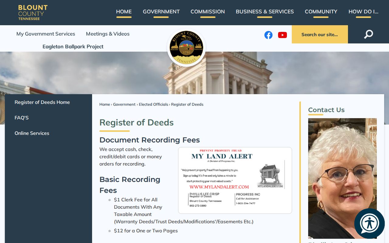
Use the office page to confirm current counter access and requirements before requesting a deed or recorded-map copy.
Maryville Codes Along the Street
Municipal files add a separate address trail. Maryville Codes and Development Services handles permits, plan review, inspections, and code enforcement. The office is at 416 W Broadway Avenue and can be reached at 865-273-3500. No online address index was located, so a useful request identifies the exact address, record type, and date range. The city says most construction needs a permit and inspections are usually within 24 working hours, while some minor repairs may be exempt.
A view of the Maryville Codes page shows the department that receives permit and inspection questions tied to a street address.
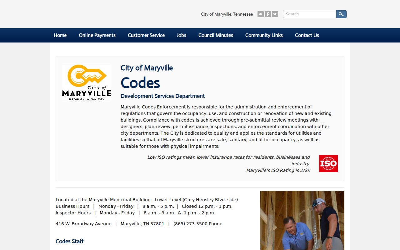
Ask which code edition and record series apply to the work date, especially because Maryville adopted several 2024 code editions effective January 1, 2026.
Maryville Engineering and Public Works is the parallel route for right-of-way excavation and site-plan material. Its files should likewise be requested by address and date, not treated as a public index of everyone connected with a street.
The Engineering page identifies the city channel for right-of-way and site-plan records.
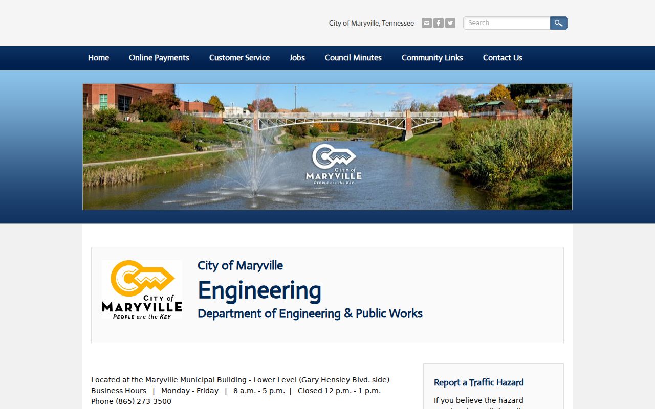
That municipal route supplements county parcel and deed records; it does not replace them.
Maryville Voter Address Results
GoVote has two practical modes for a Maryville address search: an exact registered first and last name, with an optional ZIP, or an address mode. The result promises sample-ballot, polling-location, elected-official, and other voter information supplied by county election commissions. It does not present a public list of every person at an address. Redistricting changes are applied as county data is received, so record the date of any match.
| GoVote field or mode | Requirement | Verified limit |
|---|---|---|
| First Name and Last Name | Required in voter mode | Enter exactly as registered; ZIP is optional. |
| Street Address and ZIP Code | Address mode text inputs | Two associated selects and a third control were unlabeled in the inspection. |
| Search | Action | Returns voter and polling context, not a street-wide roster. |
The Blount Election Commission also has a voter-data purchase form with political-purpose certification and specified filters. Its stated limits and penalty warning mean it is not a casual workaround for building a public street directory. Ask the Election Commission when a status or historical election question needs its official route.
Limits of a Maryville Street Directory
Each Maryville street directory source has a different key. TPAD is tied to a parcel or account, deeds to recorded instruments, GoVote to a voter record, Codes to an application or inspection, and a reverse directory to a dated printed listing. Mailing addresses may be off-site. A trust, estate, or business can appear in an owner field. A voter result can be protected or out of date. Utility customers and protected DMV addresses are not part of this public address workflow.
Maryville mailing ZIPs, E-911 assignments, parcel situs, city limits, and service areas are also separate location clues. Do not treat any one of them as a complete answer. A narrow Tennessee Public Records Act request should seek an existing record set by number range, date, and record type. The law does not require an agency to create a new street spreadsheet or a list of people.
Lawful use. Maryville street records are for specific, lawful research. Do not use an address, map, voter match, or historical listing to stalk, harass, intimidate, or harm anyone.
Note: A no-match can reflect a restricted record, a different record key, or an uninspected coverage gap, not a conclusion about a person.